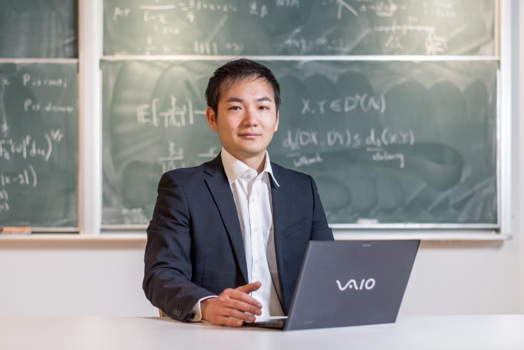
Naoto Yokoya (Ph.D.)
Title
Team Director
Members
-
Team directorNaoto Yokoya
-
Senior research scientistJunshi Xia
-
Postdoctoral researcherClifford Broni-bediako
-
Postdoctoral researcherAoran Xiao
-
Postdoctoral researcherHao Zheng
-
Visiting scientistWei He
-
Visiting scientistBruno Adriano
-
Visiting scientistShunichi Koshimura
-
Visiting scientistMasashi Matsuoka
-
Junior research associateWanshui Gan
-
Junior research associateZhihao Liu
-
Junior research associateWeihao Xuan
-
Junior research associateJiahuan Li
-
Part-time worker IJian Song
-
Part-time worker IShintaro Nakamura
-
Part-time worker IOr Raveh
-
Part-time worker IHuanjian Zhou
-
Part-time worker IHongruixuan Chen
-
Part-time worker IZhiyuan Zhan
-
Part-time worker ISoichiro Nishimori
-
Part-time worker IChao Ning
-
Part-time worker IYimin Wei
-
Part-time worker ILuheng Wang
Introduction

Geoinformatics Team aims at developing intelligent systems that monitor and assess the state and changes of urban areas and natural environments from large-scale time-series geospatial data. We study fundamental technologies of geospatial data analysis that can deal with data incompleteness, limited training data, and multimodality. Our applied research includes disaster response, urban planning, and forest monitoring.
Main Research Field
Multidisciplinary
Research Field
Computer Science / Geosciences
Research Subjects
Earth observation data analysis
Data fusion
Machine learning
Data fusion
Machine learning
Laboratory Website URL
RIKEN Website URL
Introduction Video
[Poster] FY2018 Research Results (Written in Japanese)
Poster(s)
- FY2024 Research Results(PDF 5MB) (Japanese version)
- FY2023 Research Results(PDF 9MB) (Japanese version)
- FY2022 Research Results(PDF 6.23MB)(Japanese version)
- FY2021 Research Results(PDF 2.90MB)(Japanese version)
- FY2019 Research Results (Japanese version)
- FY2018 Research Results (Japanese version)
Research Achievements
Related posts
posted on July 7, 2025 10:12Information
posted on March 26, 2025 18:46Information
posted on March 24, 2025 13:18Information
posted on March 4, 2025 15:31Information
posted on March 10, 2025 11:26Information
posted on October 17, 2024 17:08Seminar
posted on October 2, 2024 17:33Information
posted on July 20, 2022 11:02Information
posted on June 10, 2022 18:44Seminar
posted on March 7, 2022 16:39Information
posted on March 24, 2021 14:11Award
posted on October 22, 2020 16:54Seminar
posted on July 7, 2020 15:05Information
posted on June 22, 2020 16:28Award
posted on June 3, 2019 14:20Information
posted on January 28, 2019 16:43Information
posted on March 13, 2018 12:54Information


